The Best View in Southern Norway!
See 1/6 of Norway from the top! 8.6 km round trip.
Description:
| Length | Difficulty | Time (no pause) |
|---|---|---|
| 8,6 km round trip | Challenging | 5 hours |
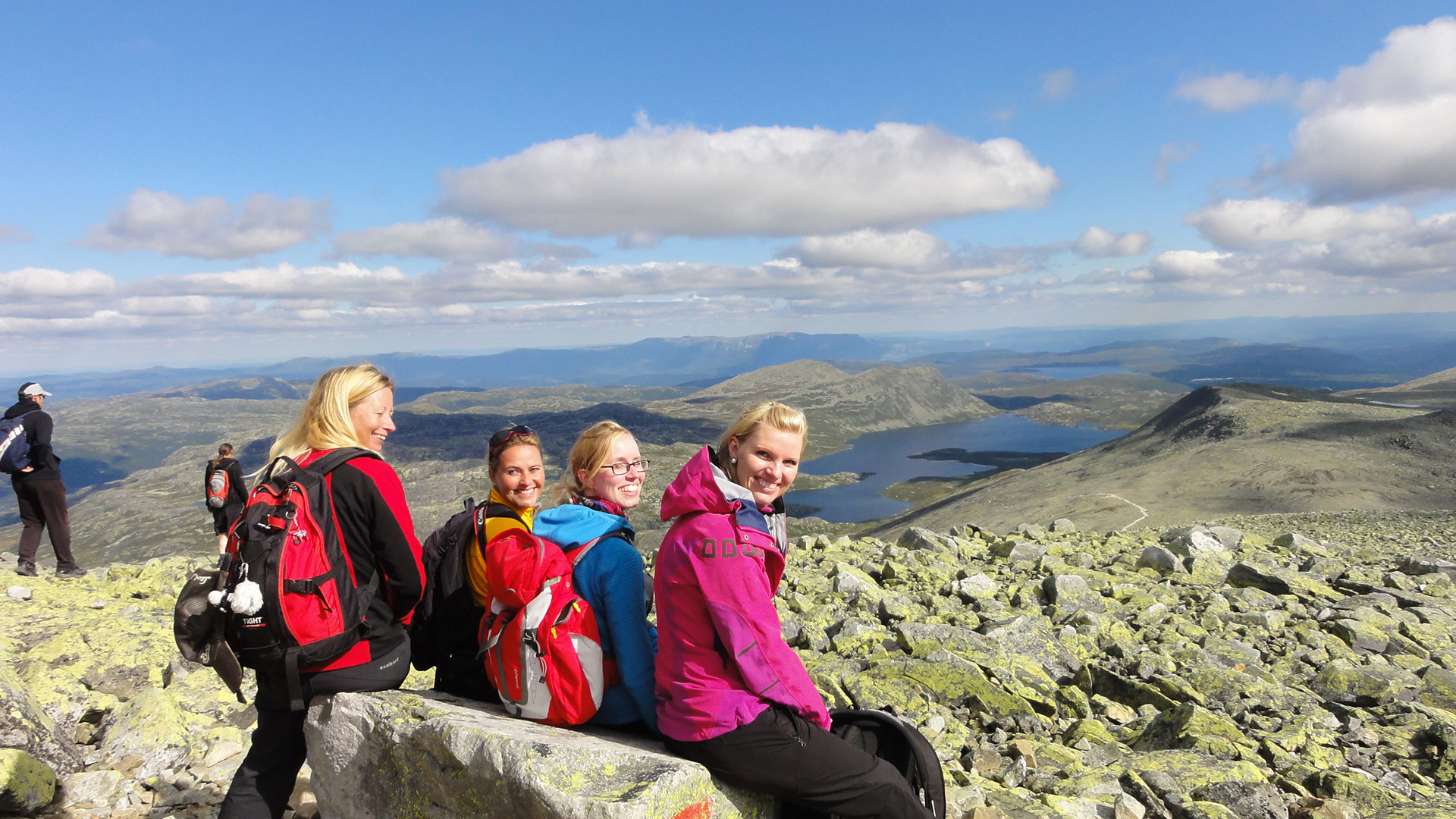
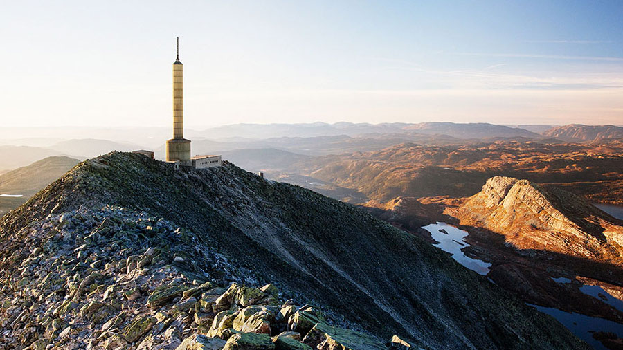
The ultimate viewpoint hike! Gaustatoppen (1883 meters above sea level), the highest mountain in Telemark, is both easy to climb and easily accessible. At the top, you can enjoy the finest view in Southern Norway. On clear days, you can see one-sixth of Norway from here. This family-friendly summit hike is suitable for fit and experienced children.
Hike Description
From Stavsro, there is a steady ascent all the way up. The elevation difference is approximately 700 meters, but the trail is wide and well-marked. The terrain is rocky, especially towards the end. Therefore, we recommend wearing hiking boots with ankle support.
As you approach the top, the view becomes increasingly magnificent, and you can see the mountains of Telemark, Buskerud, and the Oslomarka in the distance.
Just before the summit, you will reach Gaustatoppen Turisthytte, where you can find refreshments and overnight accommodation (advance booking required). Here, you can also use the restroom if you have a five-kroner coin.
The final stretch north along the ridge offers great views in all directions, especially over the expansive Hardangervidda in the west.
How to Get to Gaustatoppen
By Foot
The starting point for the hike is at Stavsro, on the mountain road Fv 651 between Sauland/Tuddal and Rjukan.
Directions from Rjukan town center to Stavsro: Follow RV 37 for about 4 km to Dale. Turn right towards the Gausta area and follow Fv 651 for 13 km to Stavsro. There is a parking lot and a summer-open cafeteria.
By Train - Inside the Mountain!
Now you can take the Gaustabanen up to Gaustatoppen! The easiest way to reach the finest viewpoint in Southern Norway is definitely through the mountain itself. The mountain funicular is open every day during the summer season, see www.gaustabanen.no.
The Gaustabanen departs from Svineroi, on the mountain road Fv 651 between Sauland/Tuddal and Rjukan. Svineroi is located about 2 km after the entrance to Gaustablikk, towards Tuddal.
Facts
Season: June-September
Elevation Difference: 710 m (1173-1883 meters above sea level)
Terrain: Well-marked trail with rocky sections. Hiking boots with ankle support are recommended.


